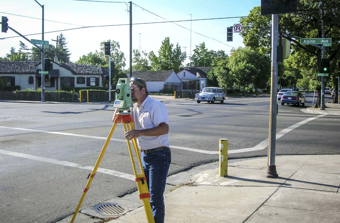
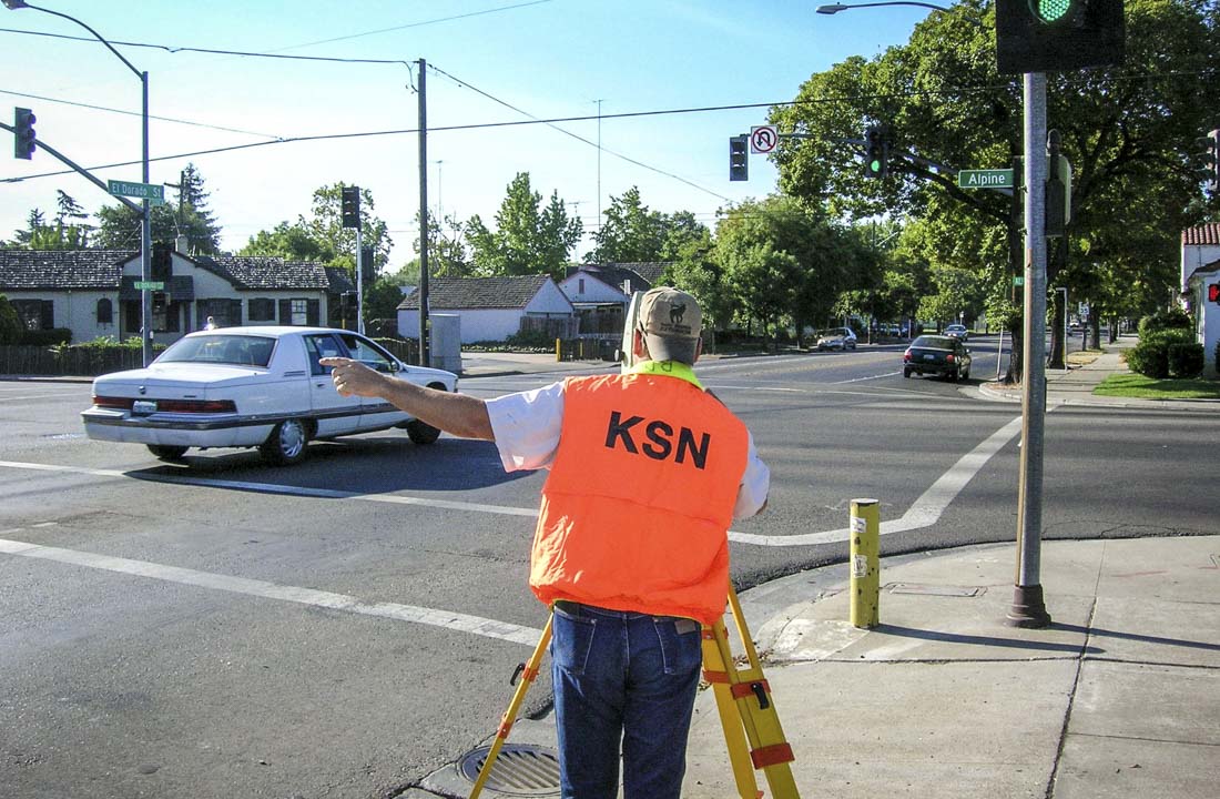
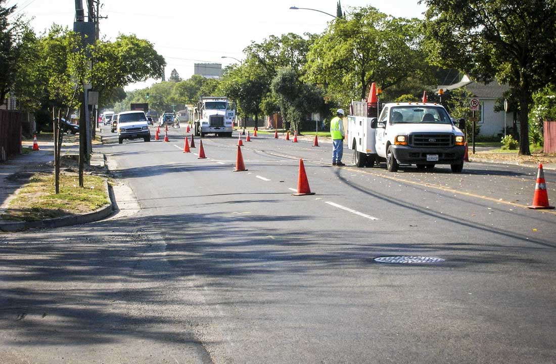
The Phase II project will widen El Dorado Street within the project area from Mariposa Avenue to just north of the Calaveras River. The existing roadway will be widened to accommodate an additional northbound traffic lane and intersection improvements are planned at Alpine Avenue, Fulton Street and Churchill Street. Kjeldsen, Sinnock & Neudeck, Inc. (KSN) was retained by Quincy Engineering, Inc. to provide the surveying, mapping and right-of-way engineering services for the one mile segment of El Dorado Street. KSN’s comprehensive scope of work included design level 1”=40’ scale horizontal aerial based mapping, with one foot contours and digital orthophotography, existing conditions utility mapping and existing right-of-way mapping. Design support ground surveys were completed along the entire project corridor to supplement the aerial mapping. A complete existing conditions digital terrain model (DTM) was developed with a combination of aerial mapping and thousands of supplemental ground surveyed points and breaklines. Utility location surveys were completed to verify the size and type of existing utilities and to coordinate a massive utility relocation undergrounding effort by PG&E. Boundary research, field surveys and mapping were completed to establish the existing right-of-way. Upon completion of the design geometrics KSN prepared the final right-of-way acquisition documents for the project.

