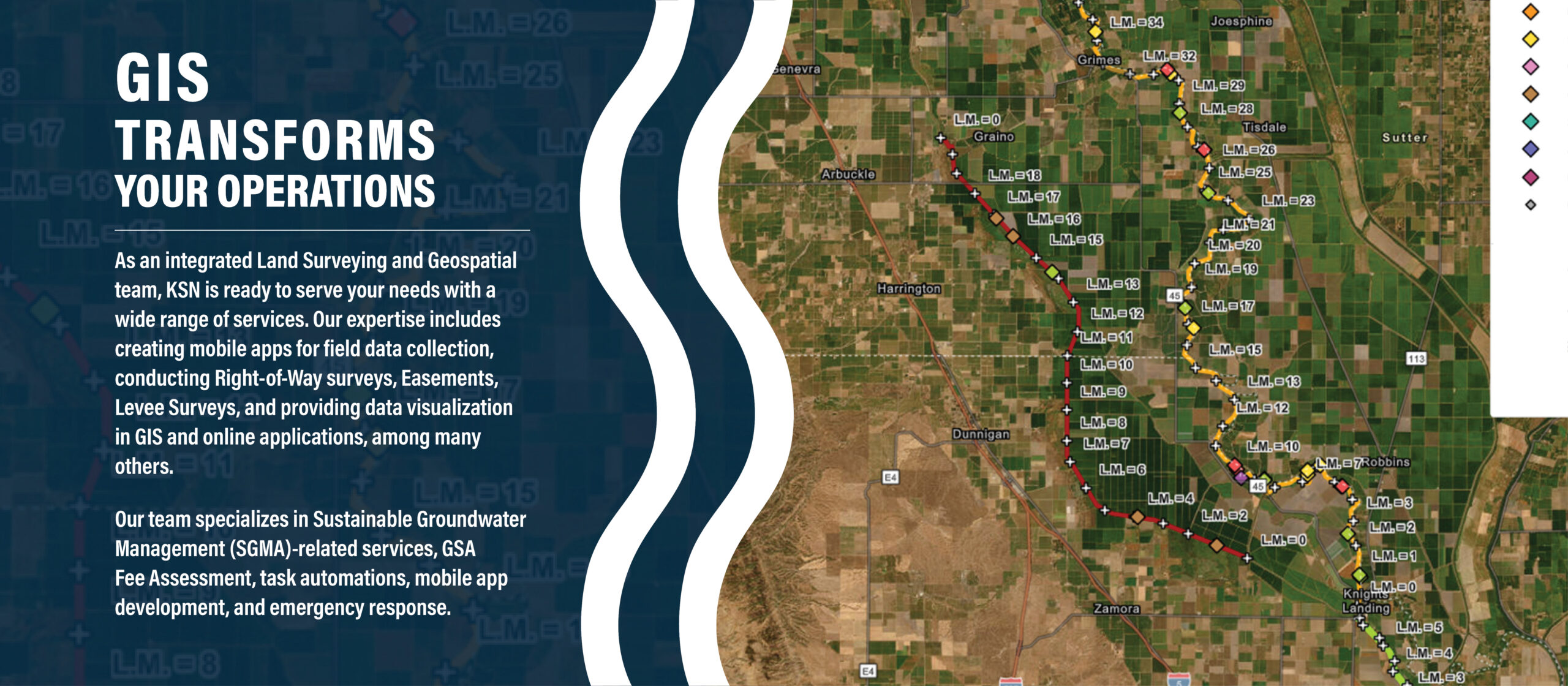
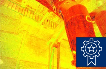
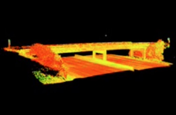
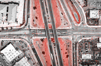
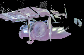
KSN’s highly qualified surveying staff includes Professional Land Surveyors, Land Surveyors in Training, Certified Survey Technicians and additional field and technical support staff. We are committed to staying current with the rapidly changing surveying technology in our dynamic profession, including computer hardware, software, and surveying equipment. KSN’s survey crews utilize the latest data collection equipment and surveying technology available, and have extensive experience in conventional surveys, GPS surveys, 3D scanning surveys, bathymetric surveys, and GIS data collection.