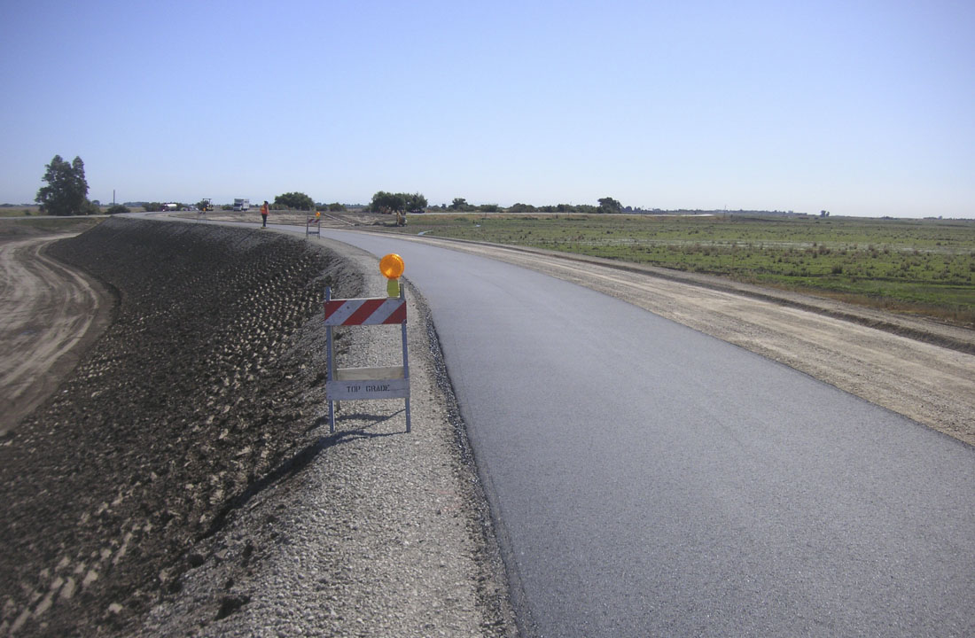
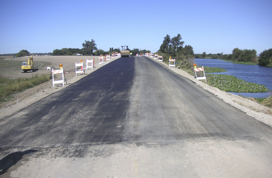
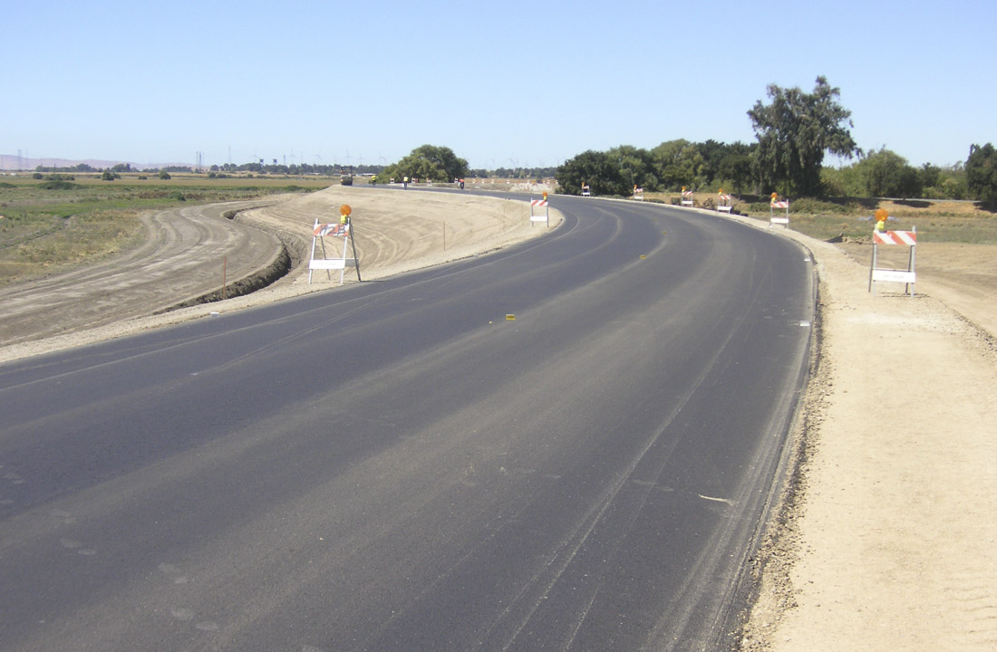
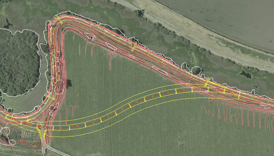
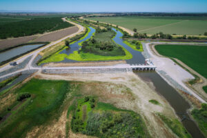
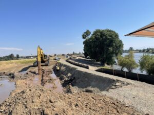
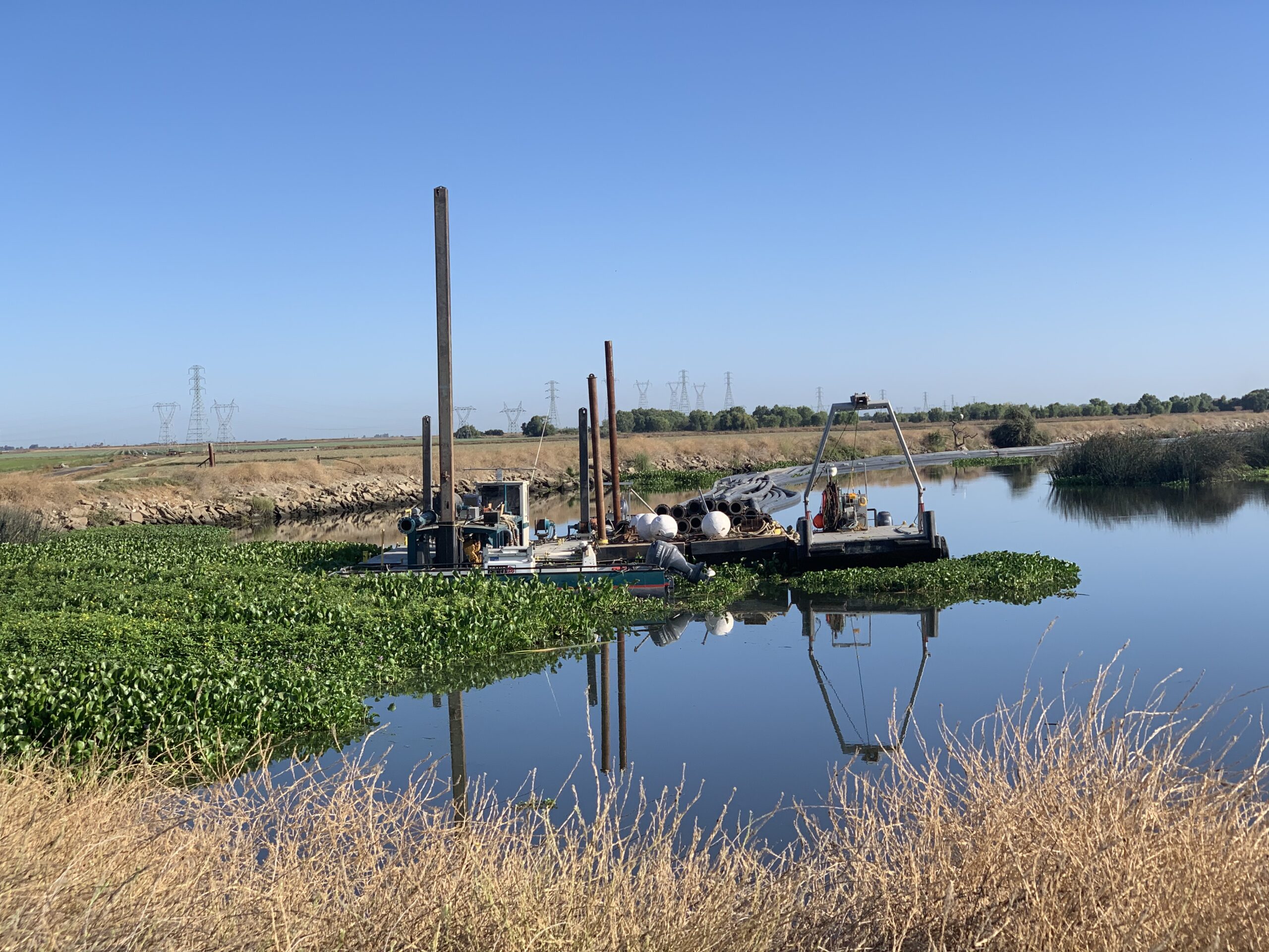
Kjeldsen, Sinnock & Neudeck, Inc.’s (KSN) full spectrum of surveying, mapping and design services utilized along a stretch of the Twitchell Island levees included static GPS control, aerial topography, digital orthophoto backgrounds, and bathymetric surveys, for a unique levee restoration project undertaken by Reclamation District No. 1601 – Twitchell Island. KSN was faced with the challenge to rehabilitate a section of levee, which was on the verge of failure with an unstable levee adjacent to a deep section of the San Joaquin River. The land and bathymetric surveying resulted in mapping that was used to design the levee stabilization improvements, which ultimately resulted in the construction of a setback levee. There were several phases of construction spanning a period of 5 years. The unique feature of this work was the ultimate design of a waterside channel between the historic levee and the new setback levee creating an area of extremely valuable habitat restoration. This project was awarded a Unit Citation from the California Department of Water Resources for the synergistic combination of habitat restoration with a conventional flood control rehabilitation project.

