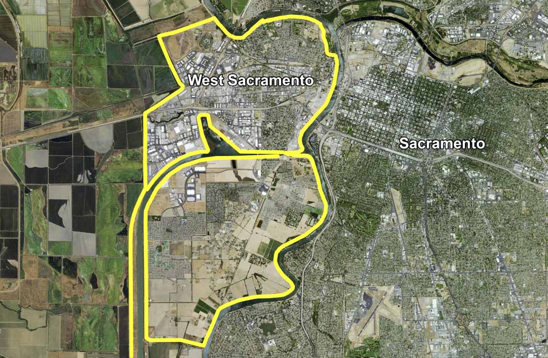
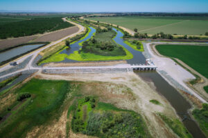
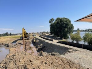
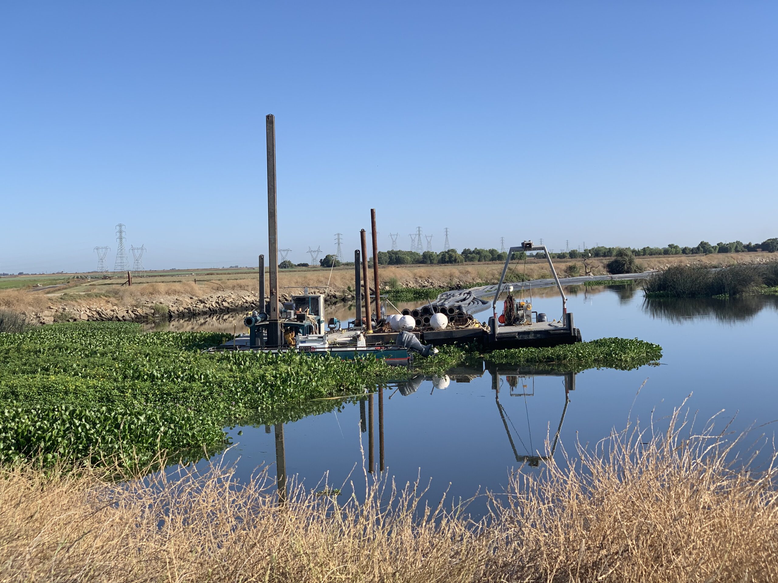
The West Sacramento Levee Evaluation Project scope of work included preliminary level geotechnical engineering services for evaluation of under-seepage, slope stability and erosion assessment of the City of West Sacramento’s Levee System, and the west levee of the Sacramento Deep Water Ship Channel. As the surveying and mapping consultant to HDR Engineering, Kjeldsen, Sinnock & Neudeck, Inc. (KSN) provided ground surveys for approximately 43 miles of levee. KSN established horizontal survey control for the project based on the City of West Sacramento’s horizontal and vertical control system. Field surveys included a combination of profile and cross-section surveys suitable for mapping and evaluation of erosion sites and freeboard. Three of the unique challenges for this project included 1) establishing a large survey control network covering the entire City of West Sacramento and the 22-mile long Sacramento Deep Water Ship Channel, 2) evaluating historical USACE aerial mapping and LiDAR data sets with ground surveys, and 3) relating all mapping to the NGVD29 and NAVD88 vertical datums. The design team utilized the field data, along with historic aerial mapping provided by the USACE, to evaluate the need for levee improvements. The resulting evaluation included an Early Implementation Plan to design and construct improvements to approximately 13,500’ of high-risk areas.

